Beniarbeig is a municipality located at the end of the area known as La Rectoria, situated on the plain of the Girona River —along its lower course— and on the slopes of the northern sector of Segària. It has an area of 7.4 km² and 2,227 inhabitants, who are known as Beniarbegí and Beniarbegina.
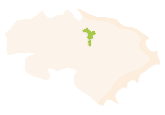 Beniarbeig's municipal district. Surface area: 7.4 km². Population: 2,227 (INE data 2021).
HISTORY
The archaeological remains that have been discovered within this municipality show us that settlements have existed in this area since prehistoric times: material was found in the cave known as Cova Bolumini, the Iberians left their mark at the Passet de Segària site, and there are also numerous scattered remains dating back to Roman times. However, the population centre itself is from the mediaeval Andalusian period. It evolved from an original clan-based Muslim farmstead, as its name indicates: according to Coromines it is an evolution of the Arabic phrase Bani Arba Hagg ('sons of the one who did the four pilgrimages'). This farmhouse was not isolated: together with Beniomer and Benicadim —the other farmhouses that have since disappeared—, the three of them became a Moorish parish in 1535. Despite ceasing to exist, these other two farmsteads remain in the local toponymy as the names of specific rural areas and, in addition, a mill has been preserved from the Beniomer settlement, with references existing since the 13th century.
In 1609, 82 Moorish families were expelled from the three farmsteads they inhabited: Beniarbeig, Beniomer and Benicadim. The houses and lands were repopulated by people from other parts of the region, with some also coming from the Balearic Islands, as shown by the existence of the Boronat, Moll and Llull surnames.
The River Girona marks the structure of Beniarbeig's urban layout. The original bridge that united the two parts of the village was destroyed by a historic flood on October 12th, 2007, an event that was broadcast live on Valencian television and immortalised in a song about climate change by the well-known Valencian music group La Gossa Sorda. The old bridge disappeared, although one of the four arches was recovered and rebuilt as a monument on the riverbank.
The river and the water management systems are ever-present throughout the whole municipal area. Just by walking along the roads one can see constant references in local toponymy as well as in the remains and in the hydraulic infrastructures that have been preserved: ponds, mills, irrigation ditches, norias and diversion dams are just some of the examples. The hydrological wealth of the village meant that at the start of the 20th century, after the phylloxera crisis, all the vines were substituted by the new irrigated crop, the citrus tree, which led to the local agricultural economy being relaunched. The houses on the street called Carrer Major, the old town hall and the old schools are all examples of civil architecture from the late 19th and early 20th centuries that are clear evidence of this positive change.
FESTIVITIES
- The festivities of Saint Domènec are celebrated during the first weekend of August.
- The festivities dedicated to Saint Roc are celebrated during the last week of August.
- The festivities of Saint Antoni are celebrated on the 26th of January.
GASTRONOMY
- Arròs amb fesols i naps (rice with beans and turnips) is one of the most popular dishes in Beniarbeig and the one that has the longest historical trajectory. It is usually prepared during the winter period and consists of rice with a dense broth which is prepared in big cauldrons and cooked over a wood fire, slowly so that everything remains tender.
- Gamba amb bleda (prawns with chard) is one of the most typical meals of the region, especially related to the municipalities situated along the lower course of the River Girona, together with other riverside recipes such as those with eel. Although the name says that it is made using prawns, in reality a variety of freshwater shrimp or river shrimp is used.
- Arròs al forn (baked rice) is made in a clay casserole dish and consists of rice with potatoes, tomatoes, chickpeas, pork ribs and a whole head of garlic.