The municipality of Pedreguer is found in the northern half of the region. At around 83 metres above sea level, it sits on a fertile, arable plain closed in by the mountains called La Muntanya Gran, to the southwest, and Montgó, to the northeast. The municipality covers an area of 29.6 km² and has a population of 8,006, known as Pedreguers and Pedregueres.
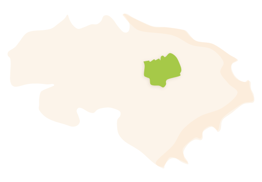 Pedreguer's municipal district. Surface area: 29.6 km². Population: 8,006 (INE data 2021).
HISTORY
Pedreguer is located at the foot of the mountain known as La Muntanya Gran. It is a town surrounded by mountains that are known for the stories they are able to tell about the area’s history. Of particular note are the number of caves, pools and underground rivers that span the terrain, El Clot del Lirio (a natural hole that shows an underground river) serving as testament to these.
The earliest traces of human activity were found in the cave called La Cova del Comte (25,000 years old), in which rock paintings typical to the Upper Paleolithic period were discovered. Meanwhile, Neolithic remains were found in the cave known as La Cova del Randero.
However, as with the majority of villages in this region, the origins of the current urban centre date back to the period of Al-Andalus. Under the administrative control of the hîsn, or Castle of Ocaive –a name that, according to J. Coromines, comes from the word al-cuqâyyibà, diminutive of “eagle” in Arabic–, the area was made up of dispersed farmhouses and hamlets. According to Christian documentation, these would have been Pedreguer, Benimarmut, Carraca-Matoses, Montroi, Gorgo, Canelles and the Abenaxoch farmstead (Canelles and Gorgo were to end up forming part of Gata with the later Repartiment, or redistribution, carried out by Jaume I).
With the expulsion of the Moors in 1609, residences were left deserted, and so the Lady of Pedreguer, Francesca Alapont i Pujades, granted a settlement charter in 1611 in order to repopulate the houses of Pedreguer, Matoses and Albardanera. However, it would appear that success was only had in Pedreguer, this being largely due to the arrival of people from the islands. In 1646, the surnames of Fornés, Costa, Simó, Carrió and Ramis, amongst others, were very common.
The demands of the administrators of Pedreguer and other villages of La Marina Alta to end feudalism constituted one of the triggers that gave rise to the 1693 peasant revolt, La Segona Germania de València. The municipality also took part in the War of Succession, on the side of Archduke Carles of Austria, which, as punishment, instigated the ransacking and burning of the village, along with Ondara. However, having overcome this crisis, the 18th century was a period of demographic and economic expansion. This economic boom, mainly due to the raisin industry, resulted in some striking civil architecture particularly noticeable in housing, but also in public buildings such as the old schools, the current Casa de Cultura (House of Culture), the Repés building or that of Els Pòrxens.
Finally, in the sixties, a new industry began to emerge that also gave rise to a period of strong economic activity: the production of goods made of leather and palm. They were to remain important industries over the course of a number of decades.
FESTIVITIES
- Saint Antoni is celebrated on the 17th of January.
- The open-air market, El Porrat, and the festivities of Saint Blai are celebrated on the 3rd of February.
- The July festivities are celebrated the week of July 15th in honour of Saint Bonaventura, patron saint of Pedreguer.
GASTRONOMY
- “Paella amb alberginia i cigrons” (paella with aubergine and chickpeas).
- “Arròs amb fava pelada” (wet rice dish with fava beans and pork ribs).
- “Malcriat” (traditional breakfast of toast rubbed with tomato, with tuna and anchovy on top).
- “Xones” (snails in a tomato sauce).
- “Frito”.